Deciding to avoid the arms race that Google and MSFT are engaged in around dynamic and 3-D mapping, Yahoo! has taken a more pragmatic approach:
Satellite maps are fun, but online map users want features that get them where they are going.
More than half (52 percent) of online U.S. adults said that they would be very likely or likely to use online maps with multi-point directions (e.g. point A to point B to point C) compared with just one in three (33 percent) who said the same of satellite imagery on a map.
Fifty-nine percent of online adults have tried to view something on a satellite map, of those 89 percent tried to view their own home, 47 percent a friend’s home, and 30 percent their workplace.
So reads a part of a press release (citing Harris Interactive research) put out today explaining a range of new features being integrated into Yahoo! Maps and which are going “GA” (general audience).
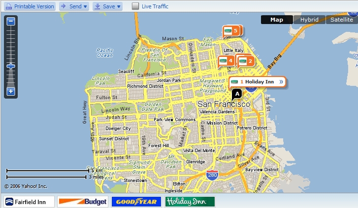
The new functionality includes “satellite imagery, larger map sizes, ‘My Locations’ for saving frequently referenced destinations, closer integration with Yahoo! Local, easy printability and the ability to send driving directions to mobile devices from the Web.”
As with the old Yahoo! Maps, there are branded sponsors. Click their logos and find their locations on the map:
A flash demo of the new features can be found here.
Yahoo!, which had been the innovator in the space, believes that these less flashy but more practical tools will connect with users who may be wowed by 3-D but ultimately have a more immediate need to know how to get there from here.
–
Greg Sterling is the founding principal of Sterling Market Intelligence, a consulting and research firm focused on online consumer and advertiser behavior and the relationship between the Internet and traditional media, with an emphasis on the local marketplace.


